

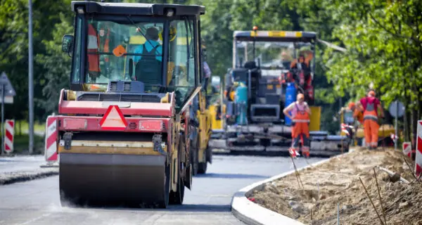
But the data required to do so is scattered across disconnected systems. Utility records live in separate GIS layers, PDFs, email attachments, and shared drives. Reviewers toggle between tools to confirm clearances or identify potential conflicts. Traditional plan review processes were never designed for this level of underground complexity. The result: slower decisions, more uncertainty, and prevent costly utility damages.
Fragmented Underground Data Increases Preventable Conflicts
- Underground data is scattered. Utility information lives across separate GIS layers, PDFs, emails, and disconnected legacy systems, so reviewers rarely see the full corridor in one place.
- Decisions aren’t traceable. Because plan review and GIS are not connected, there’s no clear audit trail of who approved what, where, and when.
- Conflicts show up too late. Changes made by one utility or project team surface in the field because other reviewers never see the updated plans or associated geography.
Manual Checks Make Compliance and Reporting Harder
- Complex rules still checked manually. Right-of-Way (ROW) permits must meet FHWA, FTA, MUTCD, ADA, NEPA, and local dig-safe requirements, yet many compliance checks still happen manually during review or only in the field.
- Errors slip through and slow everything down. Without automated submission checks, missing data and misaligned drawings reach reviewers, creating avoidable rework.
- Reporting and KPIs are painful to produce. Teams have to reconstruct what happened from scattered files to satisfy audit and performance reporting, instead of pulling from a single, searchable system of record.
Limited Visibility Erodes Community Trust
- No shared, real-time view of status, so contractors and utilities still rely on email and get surprised in the field.
- Unclear ownership of reviews and approvals leads to avoidable rework, repeat digs, and longer closures.
- Field crews lack up-to-date plans and GIS context in the field, so on-site decisions drift from what was actually reviewed, which prolongs closures.
Avolve brings everything DoT Teams need to coordinate safe, efficient right-of-way work and ensure transportation resilience into one workspace.
As the only electronic plan review software with embedded Esri ArcGIS, field access, built-in reports and AI, your team can evaluate proposed work directly against your mapped underground environment — streamlining coordination across utilities, reducing delays, and improving confidence in every review.
Optimized Infrastructure Decisions with GIS-Integrated Plan Review
Deliver Dollar Savings by Avoiding Utility Clashes and Rework
Streamlined Asset Management with Single Source of Truth for Every ROW Project
Stronger Compliance with Built-In Audit Trails
Field-Ready Access for Inspectors and Crews
Faster Reviews with Intelligent Checks and Built-In Reporting

$24 Million
Annual Savings
Avolve helped coordinate utility work across 30 agencies before issuing right-of-way permits—preventing costly conflicts, reducing infrastructure damage, and saving $24 million annually.


Speak with a solution expert to find the right fit for your team.