

Without GIS-integrated plan review or connected field tools, reviewers are left stitching together information across PDFs, maps, and hand-drawn notes. Important details get missed, rework increases, and compliance becomes harder to maintain. These gaps compound risks over time, delaying approvals and increasing community frustration.
Lack of Spatial Context Hides Risk and Slows Reviews
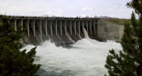
- Plans are reviewed without full awareness of nearby drainage systems, floodplains, or watershed impacts.
- Reviewers must toggle between GIS maps and PDFs, wasting time and increasing the risk of missed conflicts.
- Small grading or runoff errors discovered late cause costly redesigns and schedule delays.
Disconnected Reviews Increase Compliance and Audit Risk
- Separate systems for plan review, permitting, and inspections make it hard to prove MS4 compliance.
- Missing or outdated BMP documentation creates risk during state or federal audits.
- Lack of consistent digital audit trails complicates enforcement and creates non-compliance exposure.
Manual, Disjointed Processes Complicate Field-to-Office Workflows
- Field inspectors rely on printed plans and handwritten notes that must be re-entered later.
- Photos and compliance evidence live on personal devices and are not linked to official plan records.
- Limited mobile access prevents teams from verifying corrections or updates on-site in real time.
Limited Transparency Frustrates Applicants and Erodes Trust in the Process
- Engineering consultants and developers can’t see where plans stand or who’s reviewing them.
- Conflicting comments or missed markups result in unnecessary re-submittals and project delays.
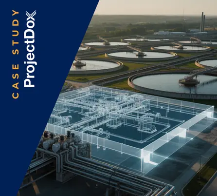
Avolve brings everything your water and wastewater division needs for modern, coordinated plan review into one place.
As the only plan review platform with fully embedded Esri ArcGIS, mobile field tools, and AI-powered automation, Avolve connects every step of your workflow — from submittal to review, mobile assessment, and compliance reporting. Teams can visualize projects in real-world spatial context, capture field updates in real time, and ensure every review meets local, state, and federal standards with greater speed, accuracy, and confidence.
Catch Drainage and Utility Conflicts with GIS-Integrated Plan Review
Robust Infrastructure Planning Through Connected GIS and Plan Data
Field Access to Approved Plans for Faster Review
Clear Audit Trails for Confident Local, State, and Federal Reporting
AI-Powered Submission Checks that Enhances First-Time Standards Compliance
Accelerate Plan Approvals by up to 75%
75% Faster
Permits Issued
Avolve accelerated permit approvals by 75%, slashing review times cycles from 8 weeks to 2-3 weeks and improved submission quality, cutting rejection rates from 85% to under 15%.


Speak with a solution expert to find the right fit for your team.